UBSEDS24
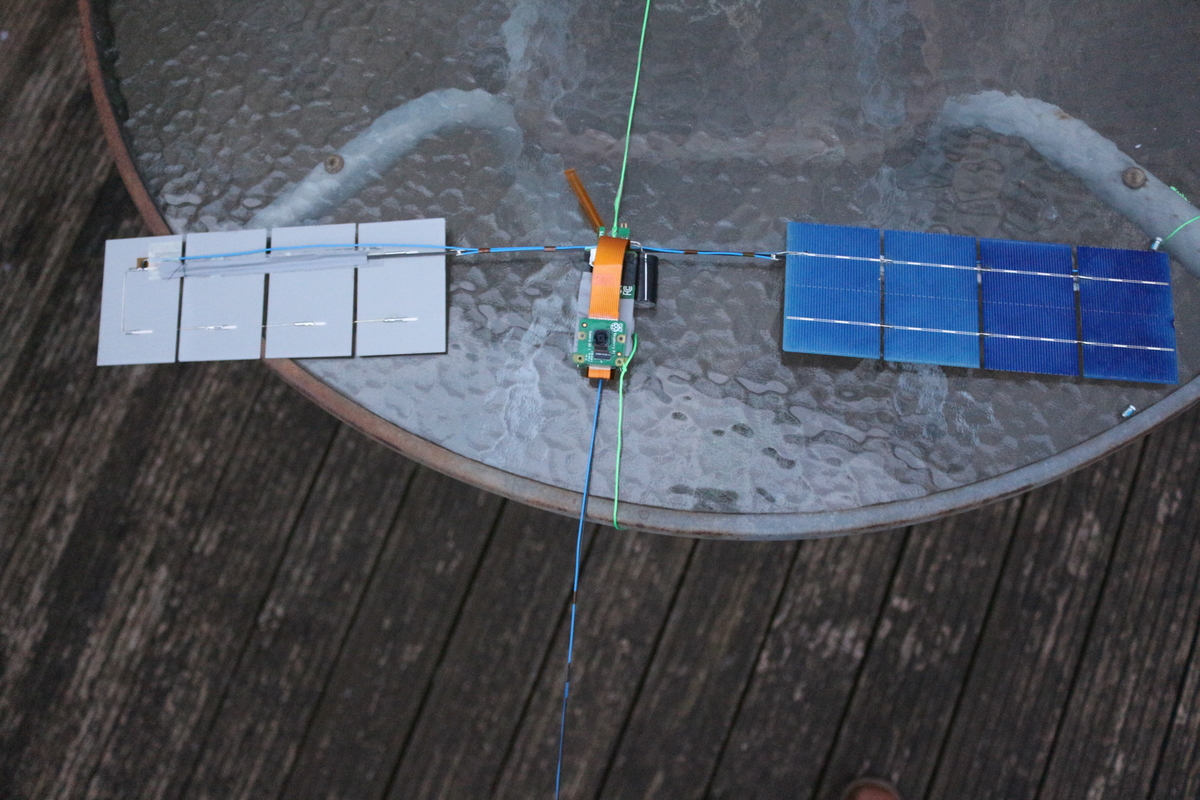
UBSEDS24 is a superpressure balloon launched by our student society. It carries a microcontroller and Raspberry Pi Zero to record telemetry and take pictures. These are then transmitted using ISM band and Amateur radio.
The superpressure balloon aims to float at a steady altitude of about 13km. Previous flights have lasted several months at this altitude.
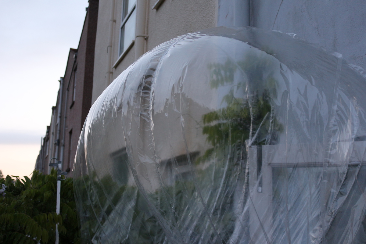
The UBSEDS24 balloon was built from 50 micron thick PA-EVOH-PE multilayer film and was 1.9 meters in diameter. This size means the longest axis of the balloon and payload combined is more than 2 meters, and so a NOTAM was required and obtained for the launch.
Instructions for 300 baud RTTY
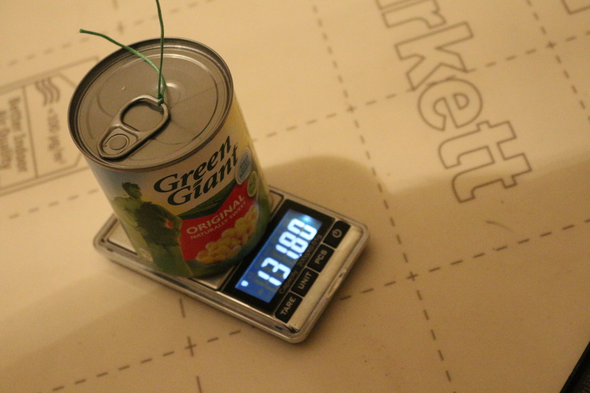
Mass Table
The mass that can be carried by the balloon is limited. For more detail about the balloon design see Richard’s talk at the UKHAS Conference 2016.
| Mass | |
| Tracker incl. Pi Zero | 61.1g |
| Cutdown | 24.5g |
| Streamer | 3.3g |
| Line etc. | 2.2g |
| Total Payload | 91.1g |
| Free Lift | 41g |
| Total Lift | 132.1g |
The flight achieved a stable altitude of 13.5 km 2.5 hours after launch. The free lift was double that used for similar previous flights, resulting in a fast and uneventful ascent. The greater upwards force will also allow the balloon to withstand faster downdrafts than previous flights.
Transmissions
The tracker transmits once per minute during launch and when solar power is available. Otherwise it transmits every two minutes, if power is available. At night it may be too cold even for battery operation.
UHF 434.6MHz
Telemetry is transmitted using the error-correcting Contestia 16/1000 mode on 434.635MHz USB.
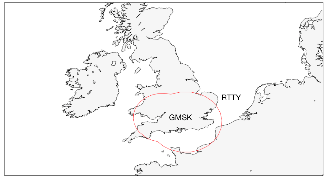
300 baud RTTY is used for image downlink, except when GMSK is used (see below). Although slow, this was successfully used by Ron G8FJG to receive images. These images can be found here. Instructions for configuring dl-fldigi are here.
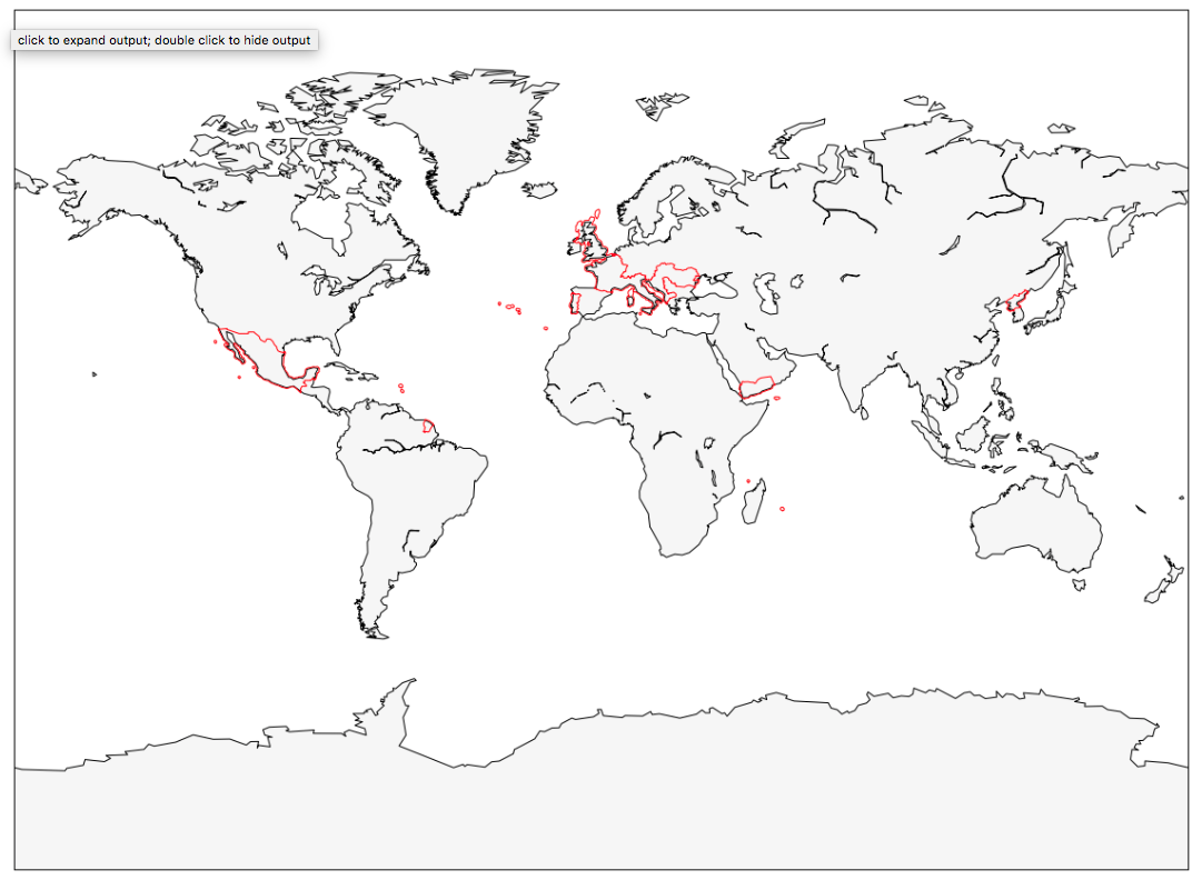
Some countries do not allow UHF ISM band operation. Therefore UHF is only transmitted outside the red lines on the geofence below.
This band is also used for GMSK. This performed considerably better than the previous test (UBSEDS22), although the Packet Error Rate (PER) was still high. GMSK is used to downlink images within the red area on this map. The PER was too high to recover any images.
APRS M0SBU-4 / AD6AM-4
For many countries the balloon transmits APRS packets on local frequencies. In particular this is 144.8MHz in Europe, 144.66MHz in Japan and 144.39MHz in North America.
Some countries do not allow aeronautical mobile operation, which limits the balloon from using the amateur bands. Therefore APRS is only transmitted outside the red lines on the geofence below.
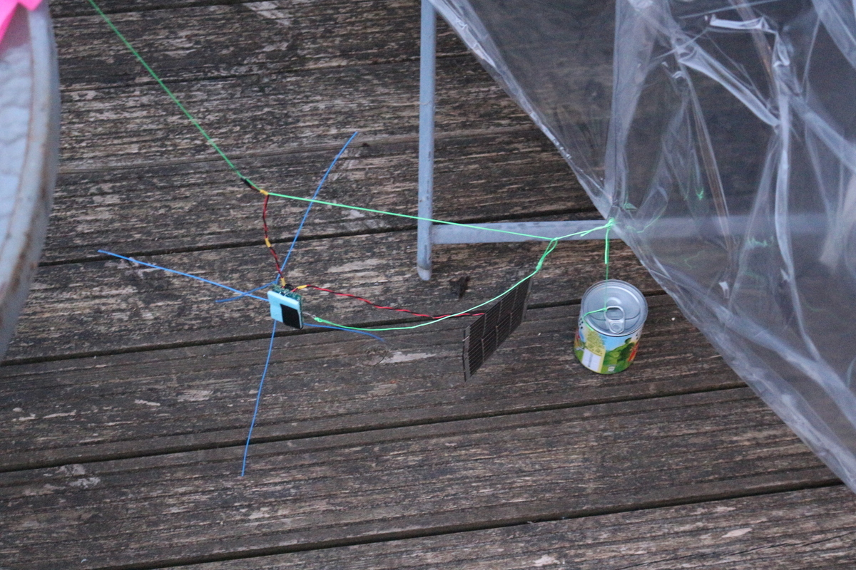
Cutdown
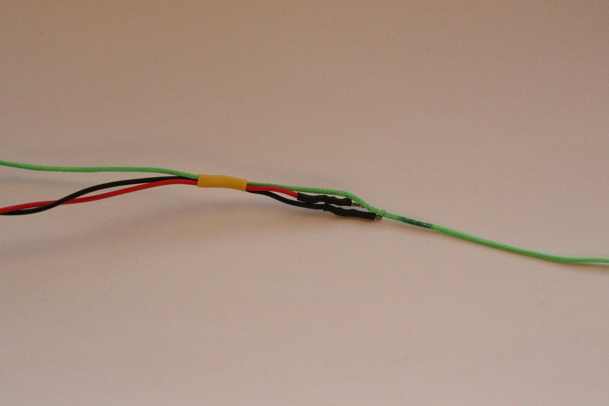
If the balloon returns close to the launch site, it is possible to cut the tracker free from the balloon, so that the Raspberry Pi and SD card can be recovered. The cutdown controller cuts through the 1mm nylon cord by heating a short length of thin steel wire.
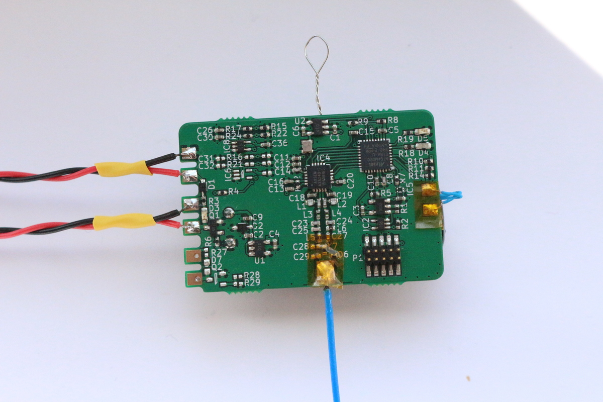
Cutdown controller
The cutdown is commanded using a 400 baud FSK signal on the 434MHz ISM band.
This was tested as it moved away from Bristol. The maximum range was 59 km at 05:58 GMT.
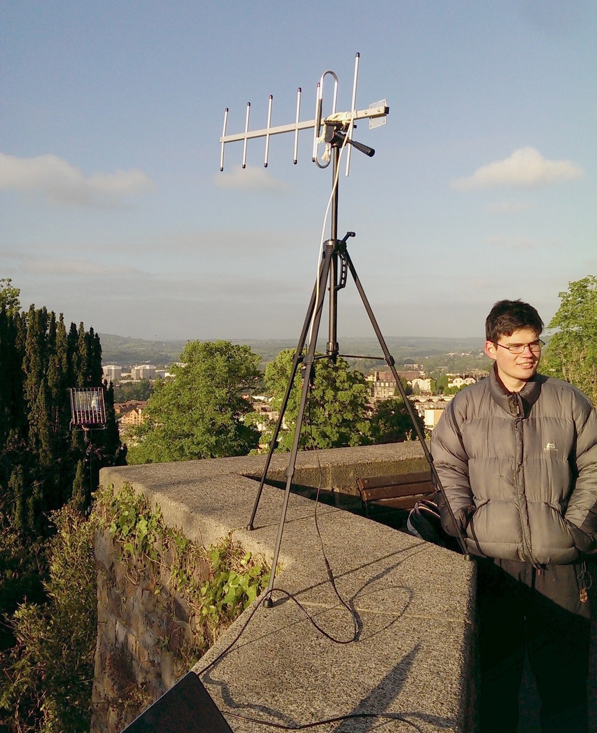
Testing at Brandon Hill, Bristol
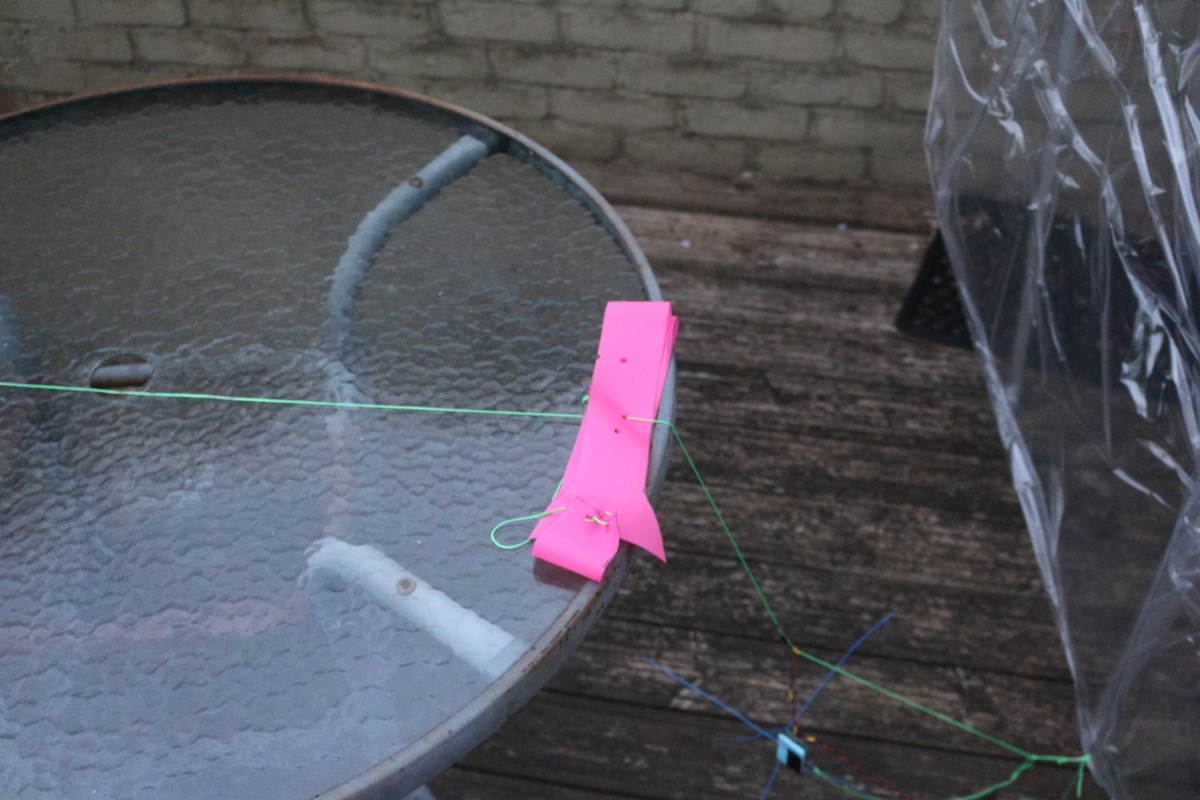
Streamer
The streamer is mounted between the cutdown and the tracker, and is intended to slow the decent of the tracker. It is 1m x 0.05m of bright pink ripstop nylon, and is intended to give a sea-level descent rate of 5m/s. It was designed based on results from On the Aerodynamic Drag of Streamers and Flags, A. Carruthers and A. Filippone. See Figure 11.
Habhub tracker
Statistics
- Total distance traveled:
8606.5km - Great circle distance:
6305.3km - Flight duration:
5 days, 2 hours - Maximum altitude:
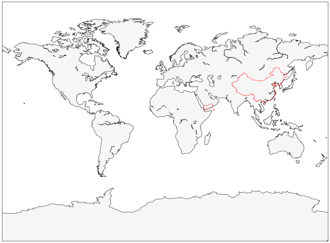
13.6km - Countries passed through:


Plots
Resources
- Geoff G8DHE Images
- HAB Telemetry Visualisation
- KML Flight Map
- KML Flight Map With Images
- Superpressure parameters for this flight
- APRS log file
Listeners
Thank you to all listeners who tracked this flight!
Total: 59
| Callsign | Telemetry Lines Received | Longest Path |
| F80106
|
473 | 420.2km |
| G8FJG_v
|
459 | 444.5km |
| F5APQ
|
381 | 376.8km |
| UA0SNV-1 | 348 | |
| F4CQA
|
320 | 246.0km |
| F1OIL
|
310 | 396.5km |
| 0x17
|
281 | 316.2km |
| ON5LT
|
253 | 421.8km |
| DEV88
|
187 | 236.1km |
| g0nzo
|
187 | 297.8km |
| JDL
|
165 | 250.1km |
| F4GUK
|
161 | 393.6km |
| G8KNN
|
131 | 358.4km |
| G6GZH
|
126 | 415.3km |
| 0x17b
|
112 | 241.6km |
| RA6LFJ-10 | 86 | |
| M0DNY-ax
|
81 | 269.5km |
| G8DHE-1
|
75 | 344.5km |
| F4FKB
|
74 | 160.9km |
| TK4LS
|
69 | 509.5km |
| BACKLOG | 66 | |
| UD6L-1 | 59 | |
| IQ7NK-11 | 50 | |
| G1BLO-2
|
41 | 61.7km |
| F5SN | 37 | |
| UB9JBL-10 | 36 | |
| SV2HNH-1 | 33 | |
| F6HTJ
|
33 | 402.9km |
| M0SBU-ax
|
19 | 67.0km |
| F5AFY | 17 | |
| M0SBU
|
16 | 18.7km |
| LZ0BGN | 13 | |
| MB7UMS | 10 | |
| 9A0KG-10 | 10 | |
| YM7KK | 9 | |
| IW1DTU
|
9 | 499.7km |
| G8FJG_v1
|
8 | 444.5km |
| LZ0DAP-13 | 7 | |
| G6SQX | 7 | |
| MB7UNE-10 | 7 | |
| LZ1OI-4 | 6 | |
| M0XIN
|
5 | 175.6km |
| M0GQS | 5 | |
| TA2AOB-10 | 4 | |
| PB0AHX
|
4 | 472.3km |
| IR6AC | 4 | |
| G8FJG_rtlazel
|
3 | 256.5km |
| F4FAP | 3 | |
| SV2HRT-6 | 3 | |
| YU0XPI | 3 | |
| LZ0DOE | 2 | |
| F8KII-2 | 2 | |
| RA4FHE-1 | 2 | |
| SV6EXB | 1 | |
| MB7USO | 1 | |
| RN6LJF-1 | 1 | |
| IC8EPV | 1 | |
| LZ0IOS-10 | 1 | |
| F4DBS-10 | 1 |